Looking for a trail to explore? Visit one of our many local-area trails highlighted below! Interested in a day-trip or a weekend adventure? There’s an app for that! Check out one of the Trail Users’ favorites:
———————————————————————————————————
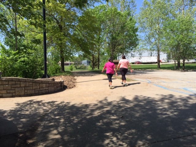
Apache Flats Greenway
The Greenway at Apache Flats goes about 1.25 miles and turns into Binder Park by the ballfields. It is flat and mostly in the sun; a couple of businesses along the way that sell drinks and snacks. One can continue on and walk or bike more miles in Binder Park.
——————————————————————–
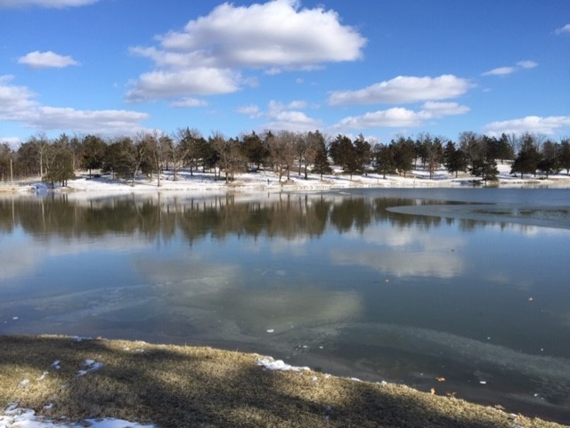
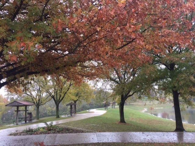
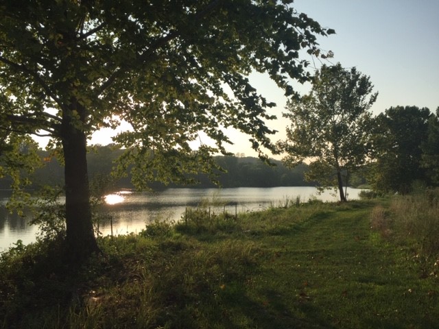
Binder Lake Trails
Binder Lake Park has more than 15 miles of natural surface trails crossing gullies, rocks, logs, and fields. Divided into 4 loops (green, blue, red, and yellow), all of the trails have a fair amount of hill climbing, and most of them twist through the woods in shade. There are various places to the loops. The biggest parking area, with restrooms, is located at the former Bait Shop. From Highway 50 West, go to Apache Flats and north through the ball fields. Then turn left and cross a small bridge over the lake. In less than 1/4 mile, turn right onto the Park Road and go north on it to the parking area. The parking area is just past the boat launching ramp. The easiest loops of the trail can be entered by going past a kiosk across the road from the old Bait Shop.
These are multi-use trails with biking is allowed. Jefferson City Parks and Recreation provides support for the trails.
——————————————————————–
Clark’s Hill/Norton State Historic Site Trail
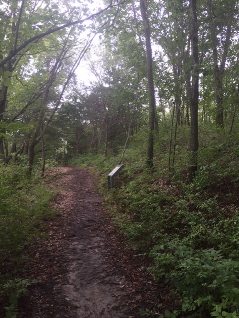
This 1.1-mile shady natural surface trail is quite hilly. It leads to a peaceful overlook at a place where William Clark viewed the Missouri River on the Lewis and Clark Expedition. The overlook platform has benches and is a pleasant place for a drink or snack if you bring one. Osage Indian mounds were also originally located along the trail. The trail has a nice trailhead at Osage City and educational signs along its length. However, the trail can be muddy and slick, and there are a couple places where a bluff drops off not too far from the trail. So, supervise children on the more elevated stretches of the trail.
——————————————————————–
County Park Lake Trails
The paved trail at County Park Lake (also sometimes called Jaycees Park Lake) is 2/3 miles long and goes all the way around the lake. The paved trail is in the open with little shade. It only has one hill, though the hill is fairly steep, and connects to the Covington Gardens subdivision. There is also a cross-country running trail, near an iron sculpture, that makes a slightly longer loop with some gradual hills with more shade. There are two parking lots for these trails off of Fairgrounds Road in Jefferson City.
——————————————————————–
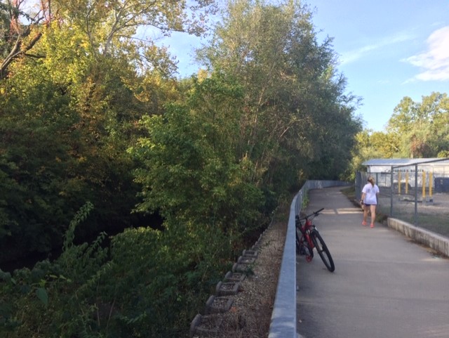
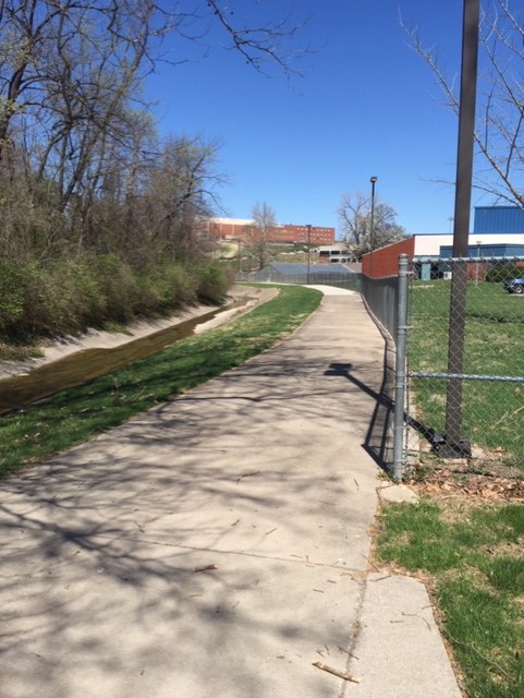
Creek Trail Greenway
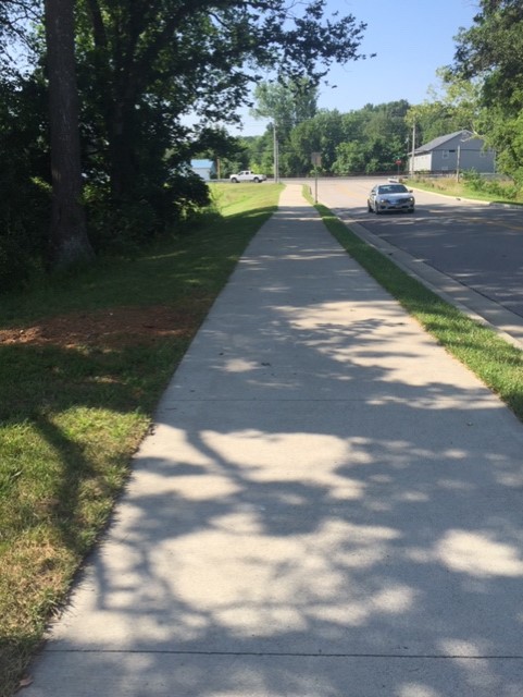
The Creek Trail Greenway extends from Creek Trail Drive near Capital City High School to the West Edgewood parking lot for the greenway on Edgewood Drive. This approximately .5-mile stretch of paved trail crosses under Highway 179 and includes a couple of gradual hills. At Capital City School, there are more wide sidewalks and greenways that extend around the perimeter of the school. All of these trails and the greenway are in the sunshine.
——————————————————————–
Eagle Bluffs Conservation Area Trail
The overlook platform at the Eagle Bluffs Conservation Area can be reached by hiking about 1.5 miles from a parking lot on Warren School Road. Or, for more adventure, you can climb a strenuous staircase and hill for .5-mile from the KATY trail. To get to the 160 or so steep wooden steps, go north on the KATY trail from Easley for about 4.5 miles or south from McBaine about 3.5 miles. Look for a small bicycle parking area with a bench on the bluff side of the trail. This trail is almost entirely in the shade. Follow the board walk at the top of the hill to a platform with a panoramic view of the 4400-acre Eagle Bluffs Conservation Area. One caution: once, a visitor threw an apple core off the deck only to find it later on the Katy Trail below (so not a good idea)!
——————————————————————–
Earthquake Hollow
Located just to the southeast of New Bloomfield, Earthquake Hollow Conservation Area’s trail goes about .25-mile into the woods and then it dead ends. After that, you are on your own. The trees on the top of the hill where the trail ends are tall with little underbrush which makes it a spacious and scenic location. And hiking down the hill to the creek brings you to a place with many interesting rocks. However, climbing back up the hill is complicated by steep rock outcrops and the many fallen trees on the slopes. It may be advisable to track your path with a GPS so you can find your way back. Watch for snakes in warm weather!
——————————————————————–
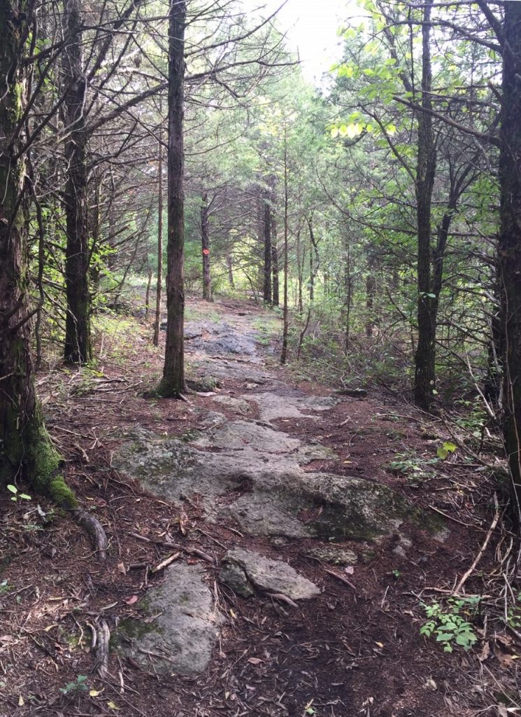
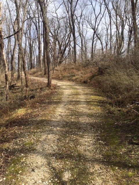
Frog Hollow Trail
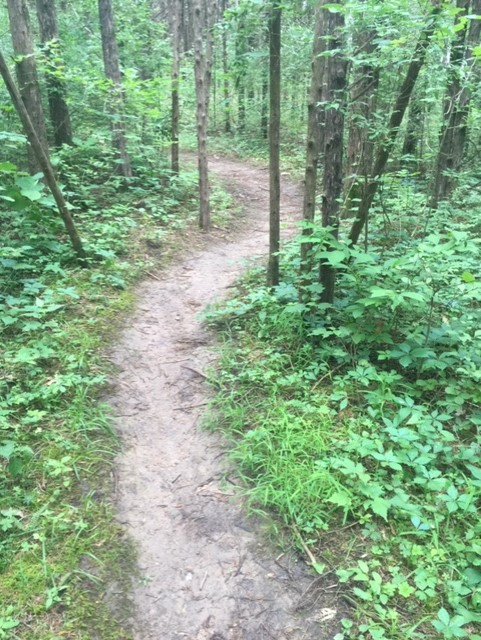
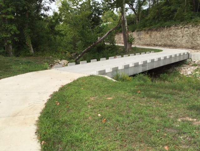
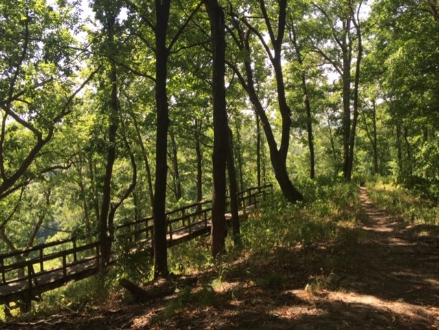
Frog Hollow is a multi-use 3.25-mile long natural surface trail located in the woods above the paved West Edgewood Greenway in Jefferson City. The trail’s entrance is across the bridge off of the Greenway’s main parking lot, just west of Highway 179. A map of the trail is located at the end of the bridge, on the back side of a large board. It was put there in order to be oriented better for people to understand it. Signs are also posted at intersections. The two additional trail entrances are also shown on the maps – however, these entrances may involve wading if it has rained recently! The usual direction of travel is clockwise.
Most of the trail is in the shade. and has many features for hikers, runners, and bikers. Natural features include gully crossings, rock drops, and overhanging ledges. Several manmade features, including ramps, log piles, and bridges, offer challenges and excitement. It is necessary to remain alert when approaching corners since the trail twists frequently and vegetation can be dense. Jefferson City Parks and Recreation provides support for this trail but volunteers perform the trail maintenance.
——————————————————————–
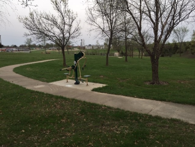
Holts Summit Greenway
The Holts Summit Greenway Trail is located at Hibernia Station Park next to North School and the Police Station. The trail is about .5 miles in length with shallow hills; many people make multiple laps. Summit has the only trail in the area with exercise equipment along it. The exercise equipment is easy and fun for all ages. Although it lies mostly in the sun, there are a few shady places including a picnic pavilion by the playground. Plus, located in an open area, winds from the north can make it a “refreshing” place to walk. Parking is by the playground.
——————————————————————–
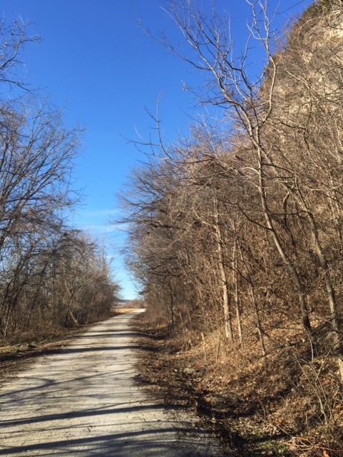
KATY Trail Near Jefferson City
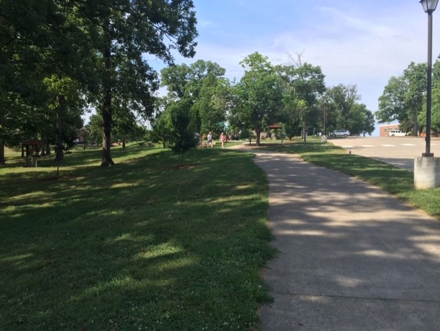
The North Jefferson Trailhead sits at the 143.2-mile marker on the historic KATY trail, spanning 239 miles across Missouri from St. Charles to Clinton. Bikers, hikers, and runners can head east or west on this Missouri State Park trail; distance is up to each user! Many do an out-and-back to a nearby destination, such as the Claysville General Store (open seasonally on weekends – be sure to check times before heading out!) or Hartsburg 10.5 miles to the west. The Hartsburg Trailhead offers seasonally available restrooms and water fountains, plus a bike repair stand. Local restaurants and bars are just a short ride away. Tebbetts lies 12 miles to the east and has a nearby seasonal café – be sure to check times before planning on a bite, though! Because of the seasonal operation of cafes and amenities along the KATY, it is important to take along drinks and snacks on the trail. This can be a factor in deciding how far to ride. In the summer, the trail is in the shade early in the day and often has a cool breeze later in the evenings. In the winter, the trail is still breezy and extra clothes may be needed. The KATY trail is often windy, and many people assert that there is a head wind both ways. However, the solitude and scenery make the KATY Trail a great place to go!
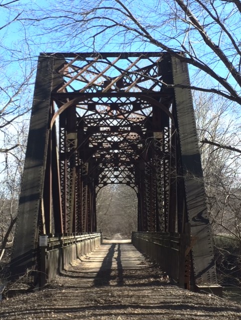
A pedestrian/bicycle bridge extends from West Main Street across the Missouri River to a parking lot at the Noren Conservation Access. This is a paved .5-mile trail with railings and fencing, plus two scenic Missouri River overlooks on the bridge. The square ramp on the river’s north side allows for a gentle grade going up and down – there are no stairs. This trail is in the sun and can be noisy from traffic at times, but it offers spectacular views of the Missouri River and floodplain. Parking can be found at a small plaza on West Main Street near the bridge and at the Missouri Conservation Department’s Noren access. A nice riverfront park adjoins the parking area.
——————————————————————–
Hyde Park Greenway
A paved section of Greenway Trail goes from Southwest Boulevard to the JCMG intersection at Stadium Drive and Edgewood. This 1.3-mile section goes through woods along Wears Creek, then parallels Hyde Park to Stadium, and continues to JCMG. Many people find this Greenway segment to be very pleasant without much traffic noise until you reach Stadium. The Greenway alternates with shade and sun. There are a couple places with shallow hills and several benches are located along the way. In addition, there are one or two footpaths down to the creek where kids can skip rocks. At Southwest Boulevard, parking is available in the Jefferson Bank lot near the gazebo. A few spaces for parking are also available at the other end at JCMG and near Providence Bank.
——————————————————————–
Lewis and Clark Wooded Trail
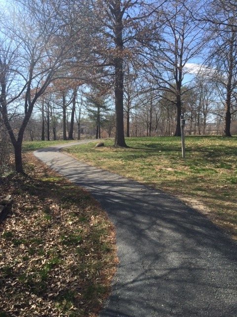
A hilly 1-mile trail goes through the woods from the Lewis and Clark State Office to Riverside Park. This trail gives the user quite a workout, particularly if it is traveled as an out and back path. The gradient on the some of the hill stretches is challenging. However, it is also possible to make a loop by using the mostly flat greenway along Riverside Drive. The double-track trail in the woods has a gravel surface and is well maintained. It is mostly in the shade. There are also a couple ways to make shorter loops by taking side trails uphill to Riverside Drive. Parking is available both at the Lewis and Clark Building just off of Riverside Drive and at Riverside Park.
——————————————————————–
Lincoln Greenway
The Lincoln Greenway begins at Chestnut Street and continues through the historic campus of Lincoln University, past the Lincoln Stadium, the Linc, the Boys and Girls Club, and Community Park to Dunklin Street. This .9-mile stretch is mostly in the sun. There is plenty of parking at several locations along the way and there are always things to see and do along the route! One can continue another .3 miles by going past the new tennis courts to McCarty Street. If you are taking kids, watch them at crosswalks on Lafayette Street and Dunklin Street!
——————————————————————–
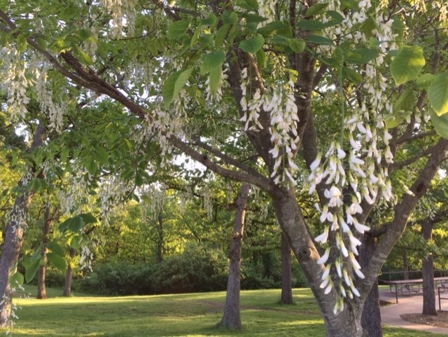
McClung Park
McClung Park has about .25-mile of paved trail and a similar distance of natural surface trail in the woods. Both of these trails can be found by parking near the outdoor shelter. The trails have partial shade with a couple of hills on the natural surface. There is a beautiful view of the city from McClung park and several types of trees also have beautiful flowers in spring. Children will enjoy the playground at this location, too!
——————————————————————–
McKay Park
McKay Park has a paved trail that make a .6-mile loop around the lake. It is mostly in the sun and can be windy at times. However, there is a lot of interesting activity along the trail with a playground, picnic tables, and fishing. There are two large parking lots and one small parking area.
——————————————————————–
Memorial Park Greenway
Memorial Park has a very pleasant paved trail which makes various loops for a total of 1.3 miles. It is mostly in the shade and has interesting features along the way, such as playgrounds and a large shelter house. It’s possible to travel a flat route or one with a couple of hills. There is extensive parking along the trail. Several benches and picnic tables are also located along the trail.
——————————————————————–
Missouri Department of Conservation Headquarters
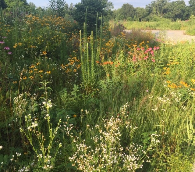
There are about 1.5 miles of trails at the Missouri Department of Conservation Headquarters, which is separate from the Runge Nature Center. The trails are mostly asphalt with an unpaved trail in a field with wildflowers and wind along through a wooded area, near two ponds, and through a field. It is possible to continue on to the Runge Center. The trails are open to the public and can be accessed at several points. The easiest way to find them is to park at the back of parking lot A and go up a big set of stone stairs. This area is great for bird watching.
——————————————————————–
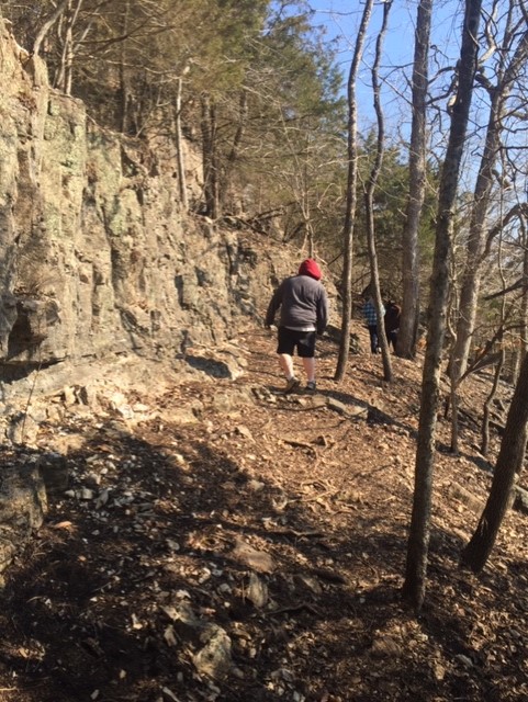
Painted Rock Trail
This 1.5-mile long natural surface trail is located at the Painted Rock Conservation Area on Highway 133, seven miles west of Highway 63, just south of Folk, MO. The first .5-mile is fairly flat, leading to a nice deck overlooking the Osage River. The trail then makes a loop going down and up steep hills before returning to the parking lot. A second deck gives provides another scenic view of the river. This trail is almost entirely in the shade. There are a few drop-offs on the riverside, so parents should watch their children carefully! Those with normal footing and stamina will not have problems, but children who trip quite a bit or who tend to roam off should be accompanied by a responsible person. The parking lot is large and maps are available a short distance down the trail.
——————————————————————–
Prairie Garden Trust Trail
Prairie Garden Trust is a remarkable privately-owned nature area near New Bloomfield. It is open by appointment for walking during the months of April through October. The numerous trails traverse beautiful prairies and lead to woods, ponds, streams, and bluffs. Some paved trails are handicapped accessible, but many of the trails are mowed lanes through the fields. The paths are mostly flat with a steep hill down to the creek. The scenery is outstanding – truly spectacular when native wildflowers are in bloom in late June and early July! Many people go there to see plants or birds. Prairie Garden Trust holds guided hikes that are advertised on their website. Otherwise, visitors need to make a reservation a day ahead of time by calling 573-220-8660 or by emailing visit@prairiegardentrust.org. Directions are provided on the website.
——————————————————————–
Riverside Park Greenway
There is about a mile of paved trail in or near Riverside Park in Jefferson City. The trail inside the park makes a loop that includes some longer hills. The Greenway Trail going west from the park is basically flat. Almost all of the trail in this park is in the open with little shade. The trail offers a nice view of the Missouri River at an overlook and many places to picnic.
——————————————————————–
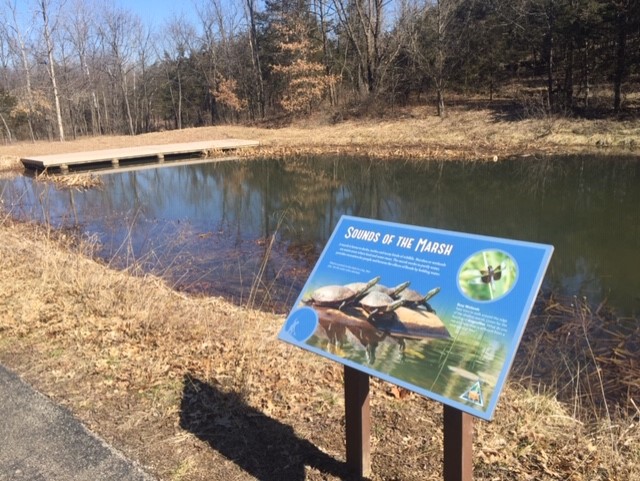
Runge Nature Center Trails
The Runge Center has 2 miles of hiking trails (***no biking allowed***) with either asphalt or wood mulch surfaces. There is ample signage in the parking lot and at intersections. A fairly flat trail for those who are handicapped or who have problems walking far is also identified. The other trails have some flat terrain but there are also a couple of good climbs for those who want more exercise. Although one trail goes through prairie acreage, the majority of the trails are in the shade; one does have stairs. Footing can occasionally be slick in the winter. The parking lot is at the Runge Nature Center about .5 mile north of Highway 50 on Route 179 in Jefferson City.
——————————————————————–
St. Mary’s Hospital Trail
St. Mary’s Hospital has more than a mile of gravel trails that are open to the public. The trails go down a long hill and meander past a pond, then through woods and back up the big hill. There are several pleasant views and places to sit. The trailhead is found by leaving from the cafeteria and following flagstones to a sign with a map. Walking the trails can be a nice break at the hospital – provided you are willing to hike back up again!
——————————————————————–
Scrivner Road Conservation Area
Scrivner Conservation Area is located about 3 miles south of Russellville off of Scrivner Road (watch closely for the sign). There are 8.5 miles of trail consisting of mowed lanes though the fields and woods, which go to a lake, the Moreau River, and a couple ponds. Walking is pleasant though hikers need to be able to walk over humps of grass and uneven terrain. Many birds frequent the area, so it’s a great spot for bird-watching! Both horseback riding and fishing are allowed; there is a shooting range there too. Several parking areas are available. Users may consult the Missouri Conservation Department’s map for the area to decide on parking. Some of the trails are in the woods and some in the fields.
——————————————————————–
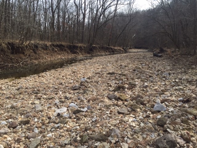
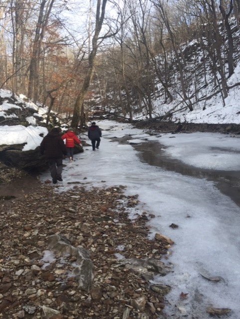
Three Creeks Conservation Area
Located just south of Columbia, the Three Creeks Conservation Area has over 4 miles of scenic trails. Field sections are easy, but other trails offer big hills with rugged terrain. As the name suggests, there are creek crossings which may need to be waded at times. The area boasts Ozark type features with bluffs, caves, and pine trees; many interesting rocks to look at in the creek beds; and plenty of violets in the spring and ice and icicles in winter, make for interesting hiking. Trails are mostly shady, especially in the low areas. Parking lots are reached from East Deer Park Road by zigzagging down a gravel road for a couple miles. However, the road dead ends at a big parking lot so you can’t drive past the trailhead. If you keep going, you will get there! Looking at a map online will give you more confidence that you are going the right direction.
——————————————————————–
Washington Park Trail
A paved Greenway starts on Dunklin Street in Jefferson City and extends 6.25 miles to County Park Lake. Washington Park is the first place you reach along the Greenway as you head west. The Greenway passes the tennis courts, ice arena, skate park and ballfields, then continues on behind McDonalds and Schnucks. People often use this part of the Greenway for transportation as well as exercise. There is a marked crosswalk on Kansas Street, by the ice arena, and vehicles do a pretty good job of watching for pedestrians or cyclists since the ice arena is a popular spot! Another marked crosswalk is further down the trail, at Southwest Boulevard, but vehicles do not do a good job of slowing down or stopping there, so please use caution! Do not let younger children go ahead on their own as you approach Southwest Boulevard! The rear driveway entrance to Schnucks is also right by the crosswalk.